


A palm fan fossil set in sandstone
Part I of this Chuckanut Formation story was mostly about the development of the formation and some of the interesting seaside sandstone features such as the tafoni. Part II will go into other features that the formation provides us including eocene fossils, building materials, coal, and recreation.
In two previous diaries I showed a variety of fossils from the formation that I photographed from the Western Washington University Geology department’s display cases: (Flora and Fauna). The fossil photos shown here are from the field on my recent trip to the Slide Mountain area, one of the parts of the Chuckanut Formation.
This site sits about 15 miles due east of Bellingham and 20 miles west of Mt. Baker. Although the distance is not great, access is a bit arduous with about 5 miles of steep, rutted gravel logging roads before coming to a road block and a parking area.
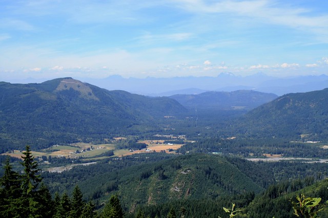
View of the Nooksack Valley looking north from the trail head above Racehorse Creek. Mountains in the distance are in British Columbia
From here my grandson and I hiked about 1.5 miles beyond the barrier to see the field of fossils laid bare by a big 2009 mud slide. This Racehorse Creek and Slide Mountain area is an eastern part of the Chuckanut Formation that was pushed and folded into mountains that became foot hills of the Cascade range about 40 million years ago (mya). This was part of the same geologic event that uplifted and folded oceanic crust and acreted onto North America via the Cascadia Subduction Zone and formed the Olympic Peninsula.
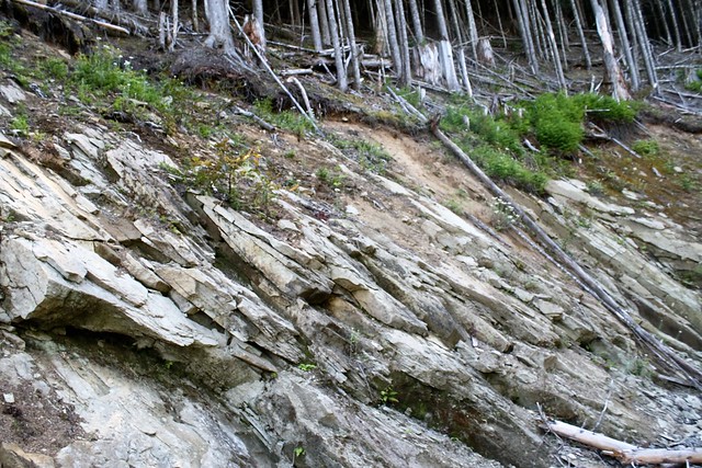
The sandstone outcropping hillside along the trail
Since these mountains consist of thousands of feet of sandstone and other sedimentary rock, it did not take long before we began finding fossils along the way. They were all from the swamp plants of the eocene delta and came in various sizes and shapes as shown below:
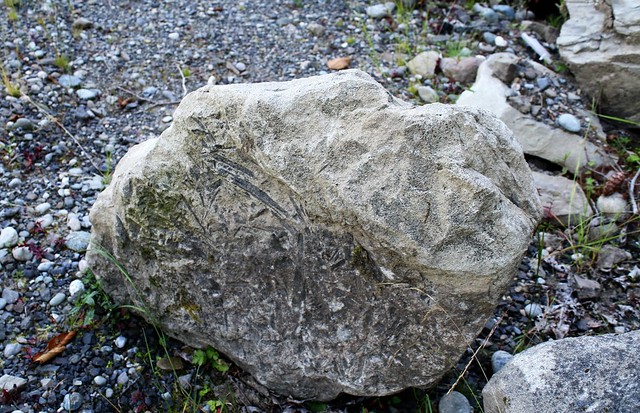
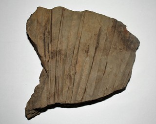
Boulder sized fossil of probably a Palm frond (Sabalites, ?), similar to the palmetto of the Southeast US today
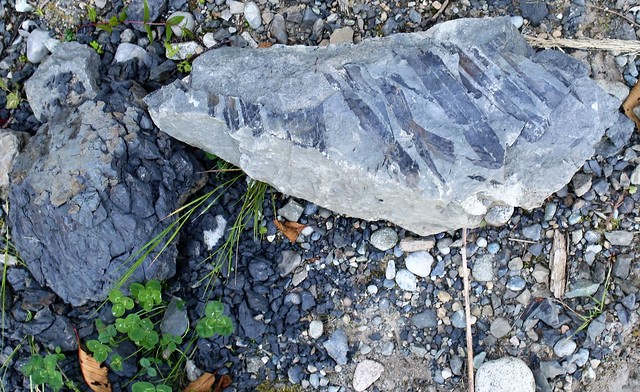
There were fossil rocks galore from large boulder-sized chunks to small hand sized pieces.
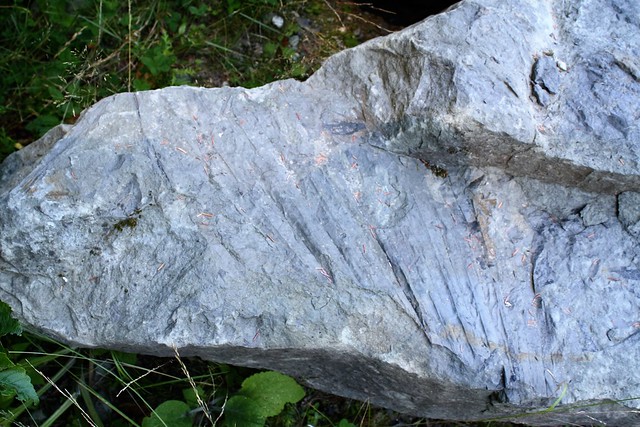
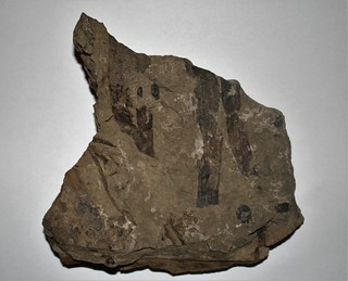
 On many of the smaller pieces, there were double prizes as many had different fossils on each side. Here on one side is a palm frond seen as part of the larger lead photo. Below is the flip side of the fossil above with some other leaf markings. I can see yet other patterns layered in cracks within this same rock.
50 myo alder leaf fossil. Note that this fossil is impressed into shale.
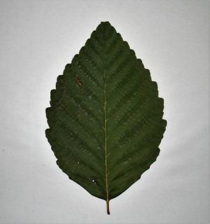
A fresh alder leaf found laying close by the above alder leaf fossil
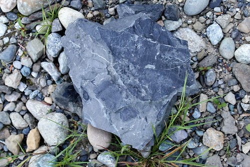
A shale fossil lying atop a piece of proto-coal.
Some of the first non-native settlers in this region discovered coal in 1850 and by 1855 began mining operations. Although the coal was not of high quality, being bituminous and sub-bituminous, the mines lasted for 100 years, closing in 1955 after honeycombing under Bellingham and Sehome Hill which now lies withing the city.
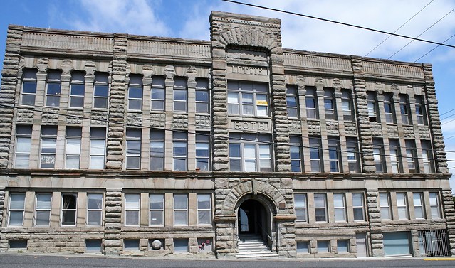
The Lottie Roth Block on West Holly in Bellingham, built by Charlie Roth, owner of Roth Stone Quarry, for his wife in 1890.
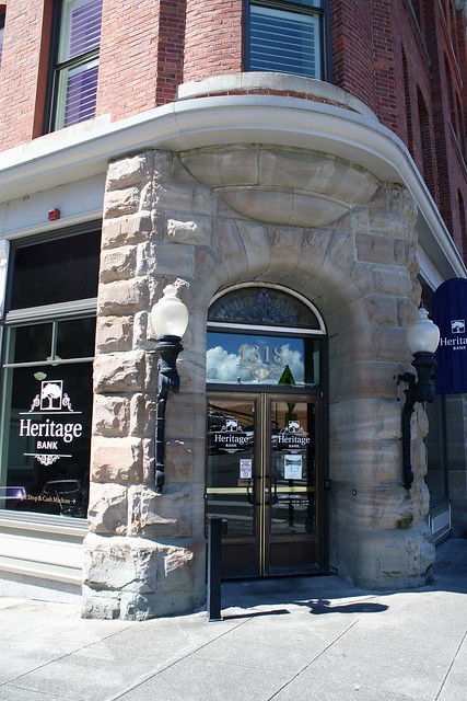
Original sandstone entrance in Fairhaven District
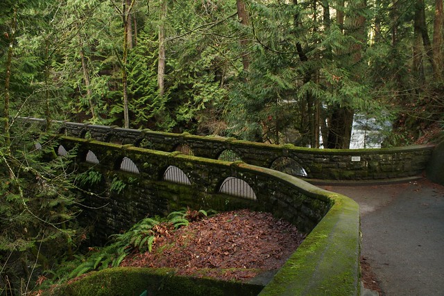
Bridge at Whatcom Falls Park, built by the CCCs from Chuckanut sandstone that once was the Bellingham National Bank building
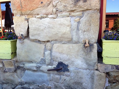
Chuckanut sandstone in Fairhaven, weathered and patched- It doesn’t last forever.
Chuckanut Mountain is one arch of the anticline and much of it is tilted at an angle of ~70 degrees.
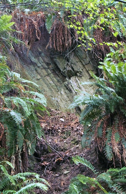
Outcropping of folded Sandstone along the Interurban trail
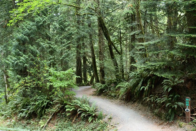
Well maintained and marked trails throughout the mountain
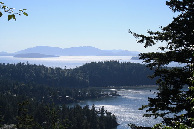
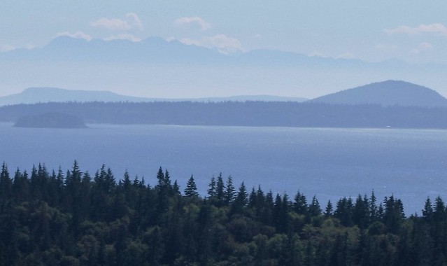 Looking further south, Skagit Bay, Vendovi Is., Guemes Is., with Olympic Mountains looming in the background
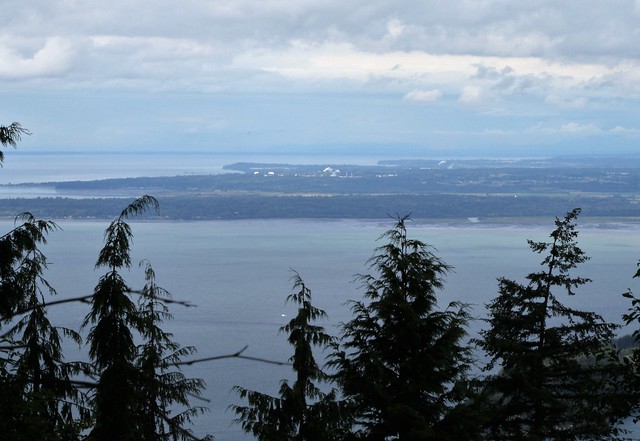
Looking northwest, from the top, across Bellingham Bay, Lummi Reservation, Cherry point, with Salish Sea, and British Columbia in the background
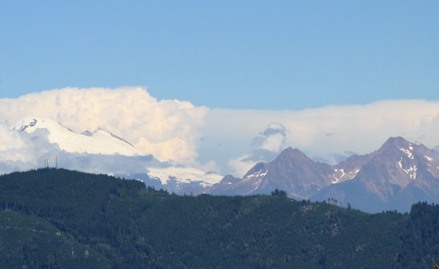
From the Chuckanut Ridge Trail looking East, Mt. Baker shrouded in clouds, the twin Sisters on the right, and Galbraith Mt., (one of the Chuckanuts) a favorite of mountain bikers in the foreground
Lots of interesting flora along the way. A couple of my favorites from the Chuckanuts:
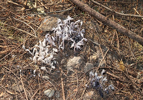
Indian Pipe (Monotropa uniflora)
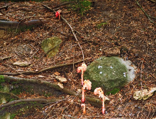
Pinesap (Hypopitys monotropa)
As promised, here is part II of the Chuckanut Formation post with the rest of the story. I hope you enjoy seeing some of our part of the world.
Thanks, RonK!
Fascinating, beautifully written and illustrated exposition of a part of the country I know little about. I’d love to come back to the Pacific Northwest one day.
How fortunate you are, RonK, to live in such an awe-inspiring part of the country, and how fortunate for us that you have the desire and the literary gifts to describe it to us.
Thank you.